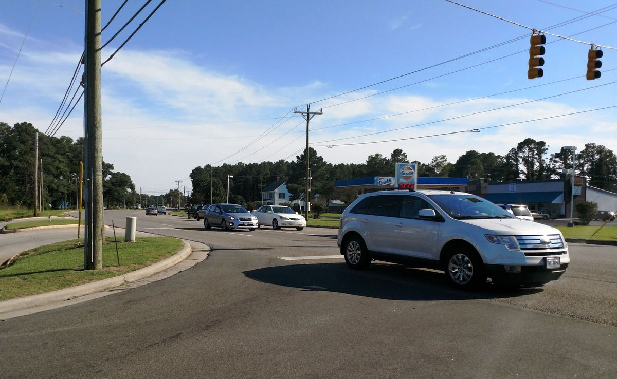
As traffic grows on Currituck County roads, county government is taking steps to protect pedestrians and connect communities. The just-released “Connect Currituck” study envisions multi-use paths along Caratoke Highway on the Mainland and NC 12 on the Outer Banks according to Jeff Hampton of the Virginian Pilot.

“Gabrielle Starboard wanted to buy eggs for a Mother’s Day breakfast, which meant she had to venture across busy U.S. 158 from her Walnut Island neighborhood to reach the supermarket.
She waited several minutes for a break in the weekend traffic before scooting across the five-lane thoroughfare.
A speeding car whooshed just behind her as she reached the other side.”
“I felt the wind as it went by,” she said.
Starboard’s experience is common along the long corridor of Caratoke Highway that runs some 42 miles from Chesapeake through Currituck County to the Outer Banks. People often walk along or cross the busy highway and connecting roads, sometimes with tragic consequences.
To improve safety and access, county officials have drafted a long-range plan called “Connect Currituck” to build a walking trail the length of the highway for an estimated $11.9 million, said Laurie LoCicero, director of Currituck County Planning and Community Development. Trails along Shortcut Road for $2.4 million and Maple Road for $646,000 are also in the works.
[box type=”bio”] Please read the rest of this story in The Virginian Pilot.[/box]
