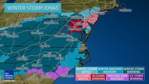
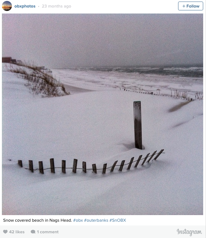
Winter storm Jonas is rolling our way, but with the exception of school kids, most OBX’ers will welcome heavy rain, wind and a high surf advisory instead of a wintry mix and the inches or feet! of snow predicted for the rest of the northeast. Ah well, the snowed-in folks up north can use the downtime to plan their next Outer Banks vacation! Irene Nolan over at the Island Free Press chats about the latest predictions.

“It looks as if the Outer Banks will be spared the ice and snow that is forecast for north and west of the area from tomorrow into Sunday morning as a major winter storm deepens just off the North Carolina coast and moves quickly northeast.
However, according to the National Weather Service in Newport/Morehead City, N.C., the Outer Banks could get walloped with heavy rains, gusty winds and minor to moderate beach erosion and coastal flooding on both the oceanside and soundside of the islands.
The Weather Service said on Thursday morning that models are in good agreement that a low pressure area over the Gulf Coast states on Friday will dissipate and a new low will spin up off the South Carolina coast Friday evening. The new low is forecast to pass near eastern North Carolina Friday night and then race off to the northeast on Saturday.”
[box type=”bio”] Read the rest of the story on the Island Free Press.[/box]
